2005-June-28


 "Lunch i Láddjuvággi"
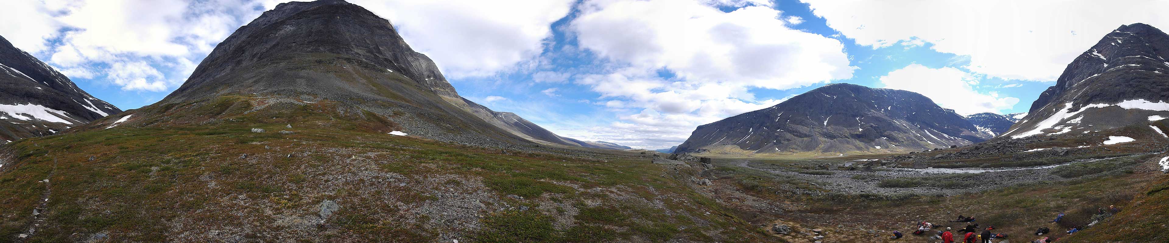
Shot in the valley of Láddjuvággi where we stopped to eat lunch after having visited the water fall up in the gorge.
Show on map!
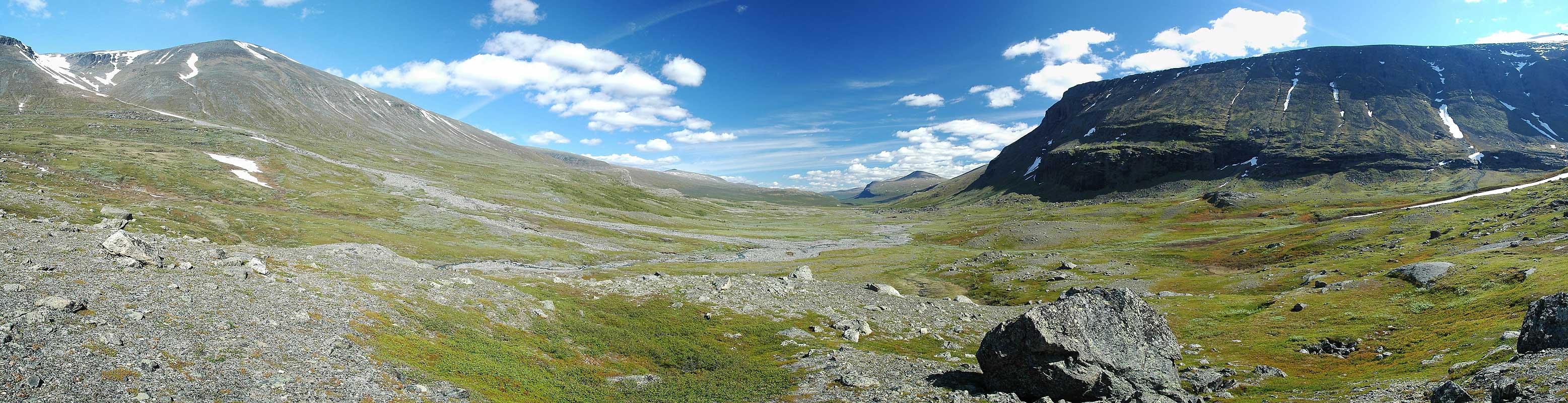
2005-June-29
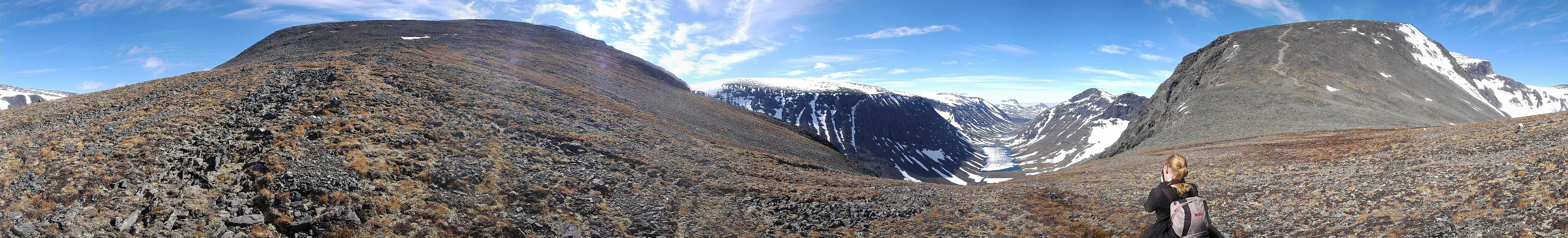
"The Saddle"Taken in the saddle point between the two peaks Duolbagorni, to the left, and Vierranvárri to the right. The valley below is Siηηivággi. The group initially intended to climb Doulbagorni but split up in two and eight people headed up Vierranvárri to later get to the Giebmegáisi (Kebnekaise) south summit. This route, the western, is longer and has a valley between the peaks but the eastern, that run over a glacier wasn't open until two days later.
Show on map!
2005-June-29
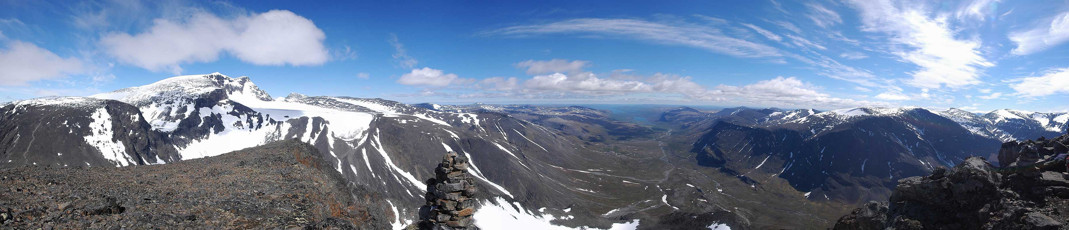
"Toppen på Duolnabagorni"The valley of Láddjuvággi from the summit of Duolnabag orni. In the distance you can see the Kebnekaise fjällstation. This peak is quite popular to depict (from the valley) and visible in most postcards from the region.
Show on map!
2005-June-29
"Siηηivággi"Another shot of the valley from the saddle point.
Show on map!
2005-June-30
 "Láddjuvággi"
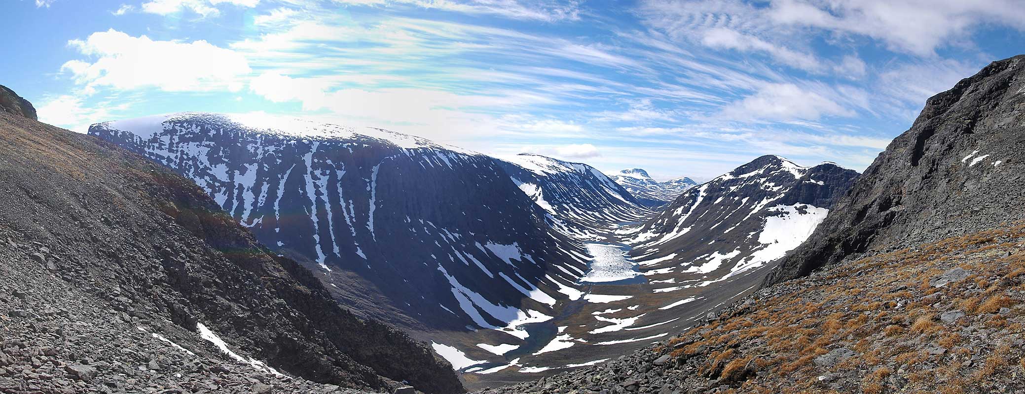
View of the east parts of the valley. Kaipak is visible in the background.
Show on map!